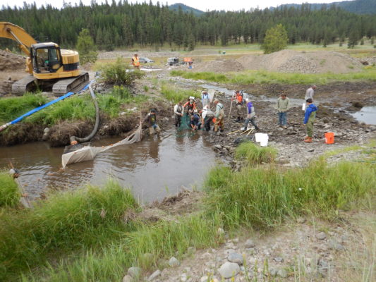
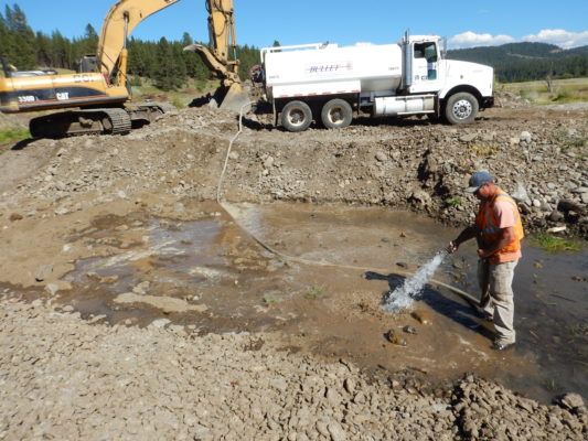
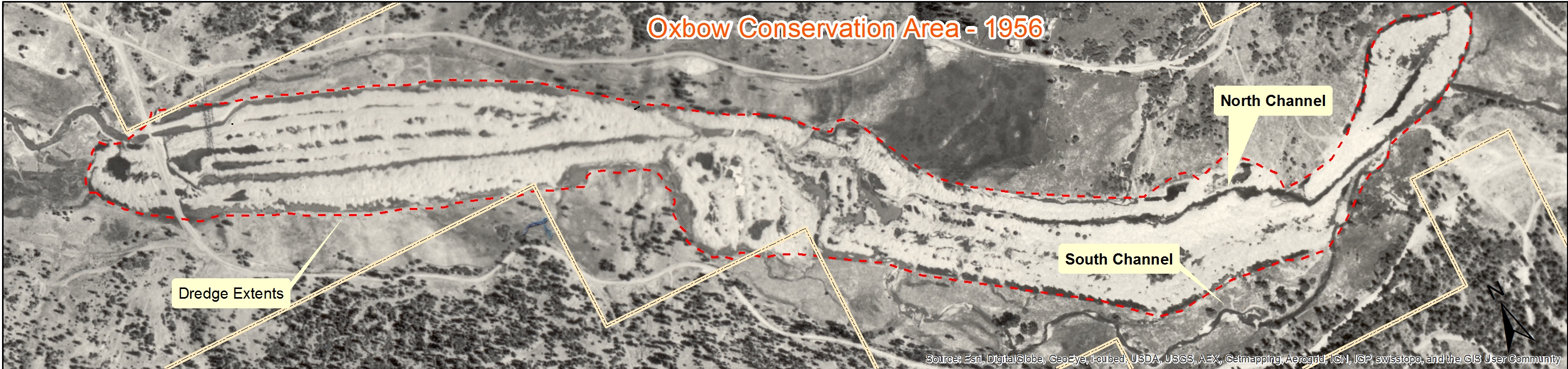
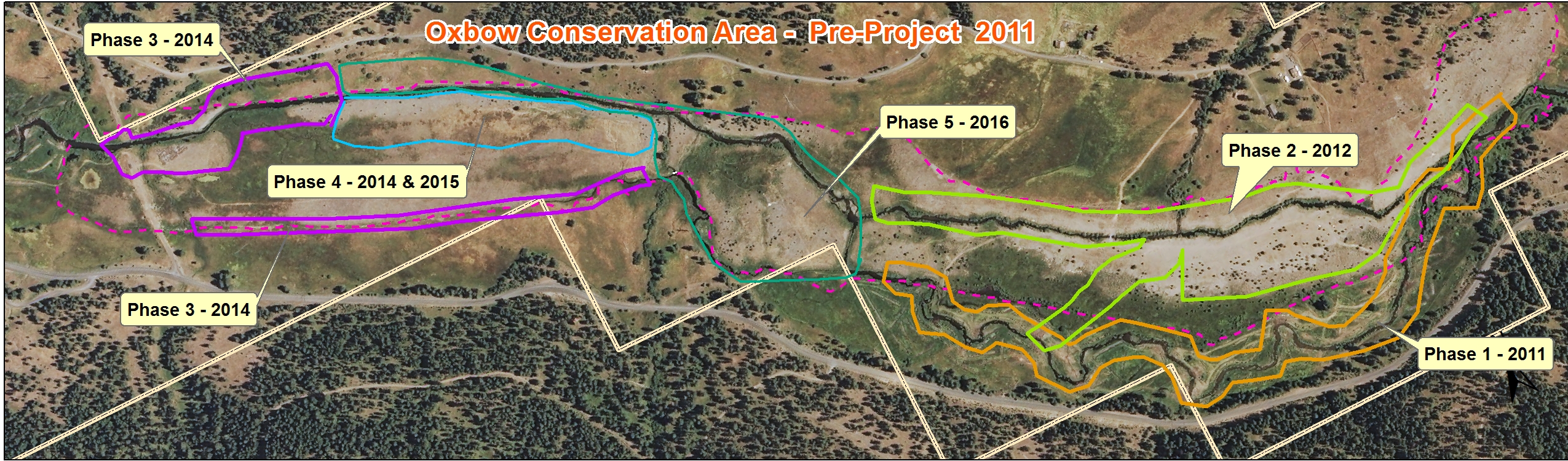
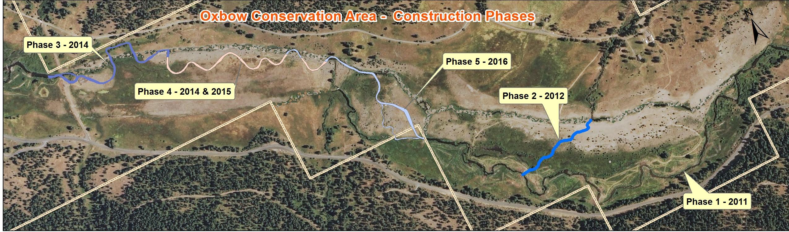
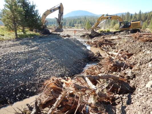
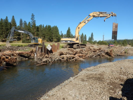
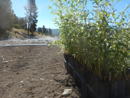
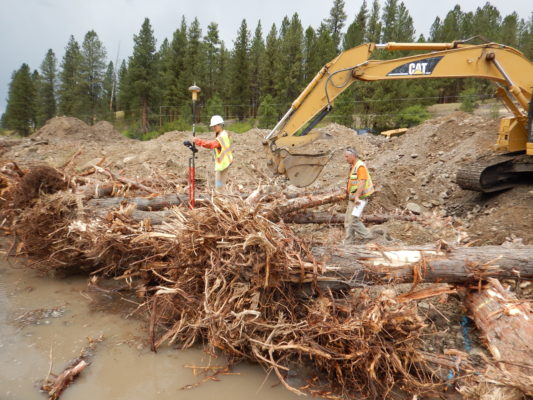
One of the largest stream restoration project in Oregon is completed! This summer, Phase 5 of the Oxbow Dredge Mining Restoration Project, or “Tailings Project” has been underway. This project links up the restoration work of Phases 1 & 2 upstream, with the Phases 3 & 4 downstream. This project is on the Oxbow Conservation Area, a 1,022-acre property owned by the Tribes on the Middle Fork John Day River. All of the instream work has been completed, but the crews will be finishing up some of the associated material hauling and overlook placement in the coming weeks. Crews will also return in October to plant ~3,000 alder trees which were not yet ready for planting this summer. Continued planting, weed control, site maintenance and monitoring will continue for years to ensure the site is fully recovered.
Once completed, this project will have result restored habitat on two miles of river that was severely altered by dredge mining in the early 1940s. This project is also adjacent to another restoration project completed in 2009, so over 2.5 miles of the river has been restored in this area.
See the many videos on the project on the project. The newest is the Náimuni: Connecting Oxbow Conservation Area. Also our friends at CRITFC also developed a page about the project here.
Basics:
- Property Mined for Gold 1939-1942 on over 200 acres
- Tailings leveled in the mid-1970s
- Confluences of Beaver, Ruby, Granite Boulder, and Butte Creeks affected by mining
- Project split into five phases: 2011-2016
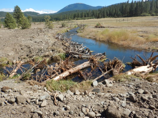
- 5,800 feet of new river channel, 1,100 feet of new creek channels constructed
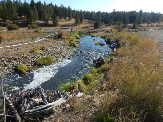
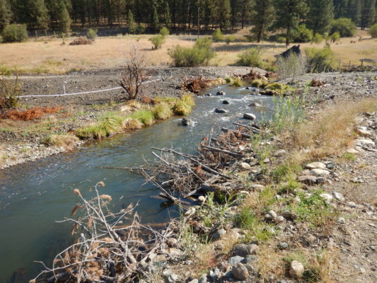
- 5,700 feet of existing river channel enhanced by flow restoration and habitat improvements
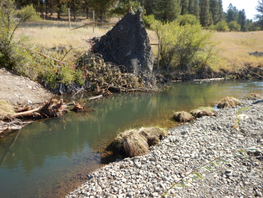
- Over 2,600 whole trees, plus additional slash utilized for habitat improvements, comprising at least 260 instream structures
- Over 30,000 containerized plants and 13,000 cuttings planted
- Project benefits spring Chinook salmon, summer steelhead, and lamprey through greatly increased instream habitat structures, alcoves, spring channels, sided channels, reconnected floodplains, and deep pools.
- Multiple Partners were involved with this project, including Bonneville Power Administration, Bureau of Reclamation, U.S. Fish and Wildlife Service, OWEB, ODFW, USFS, NOAA, and others
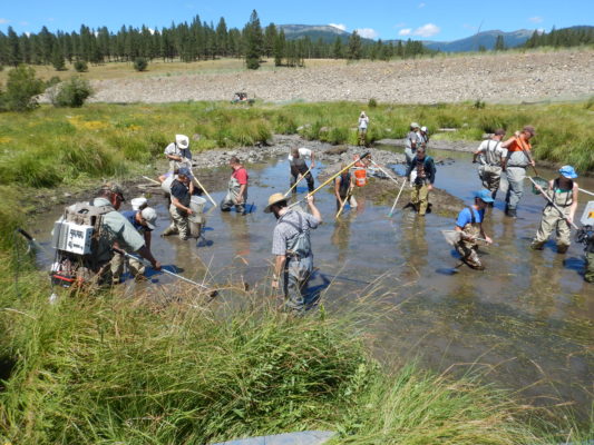
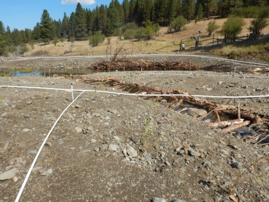
The following photos were taken this summer on the final phase of construction:
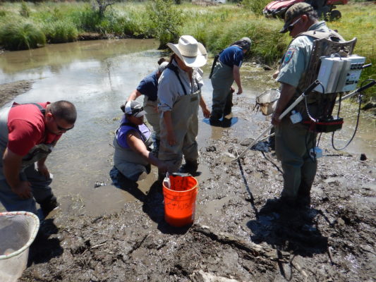
We had multiple days of fish salvage efforts to rescue fish out of channels that were being removed as part of the project. Some days we have over 70 people on site. A total of 12 days of fish salvage work yielded over 23,000 fish, frogs, mussels, and other critters which were transported to the new channel segments or to other safe areas around the property.